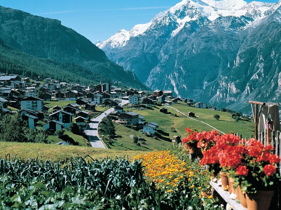
21b) Grächen – Bina – Grienubrunnu – Kalpetran
Information
On this hike, you cover a brisk 700 meters of altitude loss in a short time.
Kalpetran is connected by the Matterhorn-Gotthard-Bahn and the cable car to Embd.
Characteristics
Best season
POI details
From Grächen, your path leads you from the Millegga parking garage across the lush meadow down to the Bina. There you cross the road and follow the signpost towards Kalpetran. The path steadily descends over meadows and through the forest to the Mattertal. After crossing the road, you follow the route along the Vispa into the small community of Kalpetran.
From Visp you take the train to St. Niklaus. There you transfer to the PostAuto, which takes you to Grächen every half hour. On weekends, there is a direct bus from Visp to Grächen.
- Rhone Valley: via Martigny - Visp to Grächen / St. Niklaus
- Lötschberg car shuttle: via Kandersteg - Goppenstein - Visp to Grächen / St. Niklaus (bls.ch/autoverlad)
- Furka car shuttle: via Andermatt - Realp - Oberwald - Brig - Visp to Grächen / St. Niklaus (Furka car shuttle)
- Ticino/Simplon: via Lugano - Centovalli - Domodossola - Brig - Visp to Grächen / St. Niklaus (Simplon car shuttle)
We recommend:
- Good footwear
- Weather-dependent clothing: always carry a waterproof vest
- Headgear
- Sun protection
- Water bottle
- Picnic
- Camera
- Binoculars (optional)
- Hiking poles (optional)


