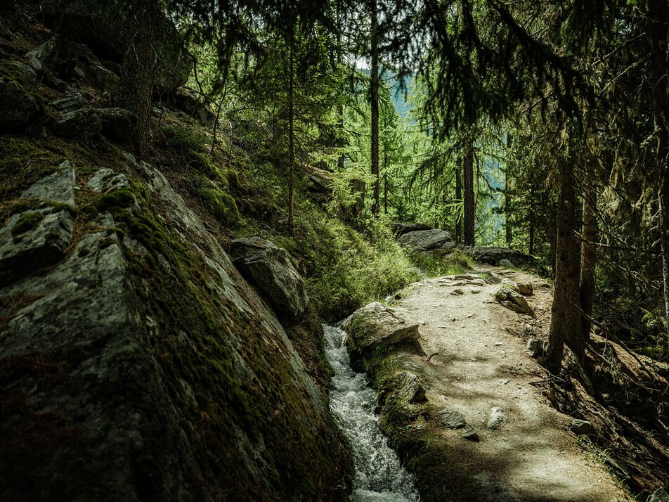
3) Water channel hike: Grächen - Chilcheri - Riedbach
Information
Along the Suone, there are wonderful rest spots for young and old. For the return journey, you can switch to a path along another water channel.
Characteristics
Best season
POI details
From Visp, take the train to St. Niklaus. There transfer to the PostAuto, which runs every half hour to Grächen. On weekends, a direct bus runs from Visp to Grächen. Detailed timetables for trains and PostAuto can be found at sbb.ch.
Rhône Valley: Via Martigny - Visp to Grächen / St. Niklaus
Car shuttle Lötschberg: Via Kandersteg - Goppenstein - Visp to Grächen / St. Niklaus (bls.ch/autoverlad)
Car shuttle Furka: Via Andermatt - Realp - Oberwald - Brig - Visp to Grächen / St. Niklaus (Autoverlad Furka)
Ticino/Simplon: Via Lugano - Centovalli - Domodossola - Brig - Visp to Grächen / St. Niklaus (Autoverlad Simplon)
We recommend:
- Good footwear
- Weather-dependent clothing: always carry a waterproof vest
- Headgear
- Sunscreen
- Water bottle
- Picnic
- Camera
- Binoculars (optional)
- Trekking poles (optional)
- Printout of the hiking trail (click "Print" to download)


