Open
D) Grächen - Gasenried - Schalbettu
Distance
3.41 km
Duration
0:55 Hours
Difficulty
easy
Information
Gasenried is the highest permanent settlement in the municipality of St. Niklaus.
This path is suitable for prams and wheelchairs.
Characteristics
Ascent
75 Metres
Technique
Descent
10 Metres
Fitness level
Highest point
1.683 Metres
Quality of the experience
Lowest point
1.608 Metres
Scenery
Best season
Jan
Feb
Mar
Apr
May
Jun
Jul
Aug
Sep
Oct
Nov
Dec
POI details
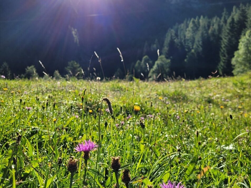
The first part of this hike takes you through the car-free part of Grächen. The route is relatively flat and on wide, mostly asphalted paths. Follow the signs to Gasenried, which will lead you through the refreshing larch forest. In Gasenried you follow the slightly ascending road to Schalbettu. This tour offers you fantastic views of the impressive mountain scenery.


