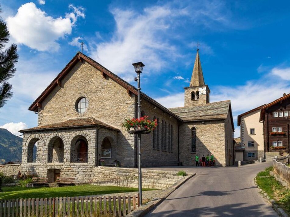
10) Grächen – Gasenried – Schalbetten
Information
Gasenried is the highest permanent settlement in the municipality of St. Niklaus.
This path is also suitable for strollers.
Characteristics
Best season
POI details
This hike takes you at first section relaxed through the car-free part of Grächen. The route is relatively flat and leads over wide, mostly paved paths. You follow the signs to Gasenried, which take you through the refreshing larch forest. In Gasenried, the slightly ascending road leads you to Schalbetten. This route offers you fantastic views of the impressive mountain backdrop.
From Visp, take the train to St. Niklaus. There, change to the PostBus which takes you every half hour to Grächen. On weekends, a direct bus runs from Visp to Grächen. Detailed timetables for trains and PostBuses can be found at sbb.ch.
- Rhone Valley: Via Martigny - Visp to Grächen / St. Niklaus
- Lötschberg car shuttle: Via Kandersteg - Goppenstein - Visp to Grächen / St. Niklaus (bls.ch/autoverlad)
- Furka car shuttle: Via Andermatt - Realp - Oberwald - Brig - Visp to Grächen / St. Niklaus (Autoverlad Furka)
- Ticino/Simplon: Via Lugano - Centovalli - Domodossola - Brig - Visp to Grächen / St. Niklaus (Autoverlad Simplon)
We recommend:
- Good footwear
- Weather-dependent clothing: always carry a waterproof vest
- Head covering
- Sun protection
- Water bottle
- Picnic
- Camera
- Binoculars (optional)
- Hiking poles (optional)
- Printout of the hiking trail (click "Print" to download)


