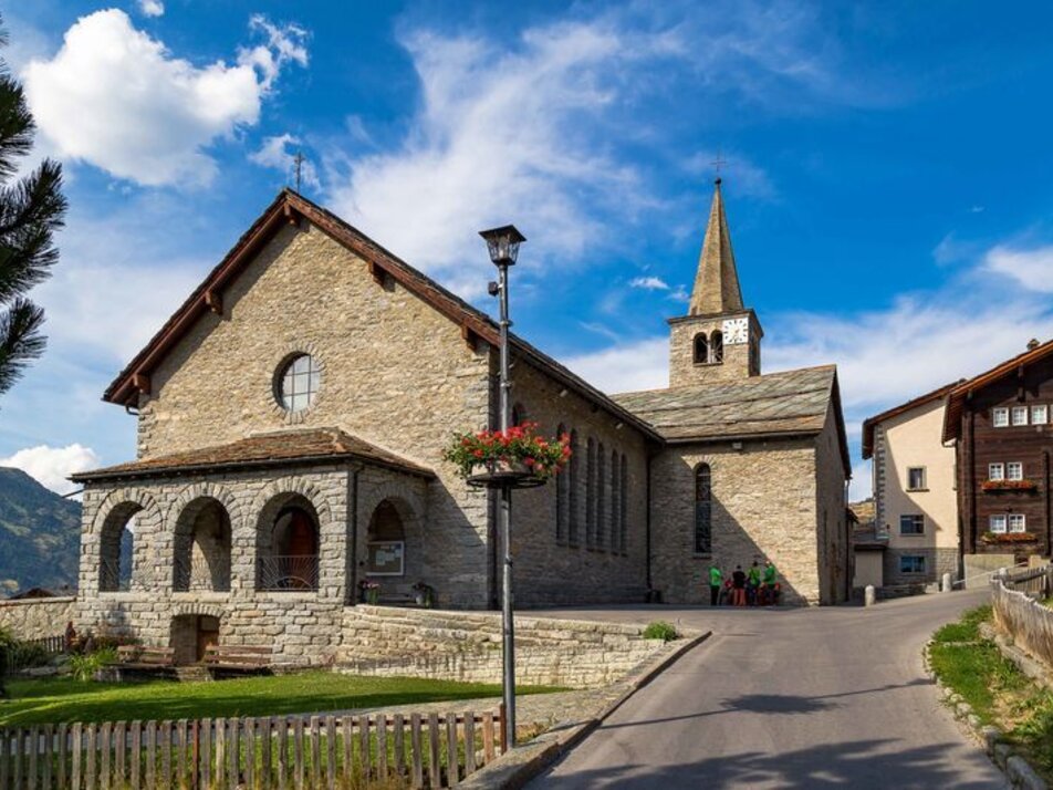
4) Grächen – Gasenried – Plattja – Seetal
Information
A medium-difficulty hike with a gentle start and a strenuous finish. On this route, you cover over 1200 meters of elevation and then enjoy a breathtaking view at 2865 meters above sea level of the impressive mountain backdrop. Your view wanders from the Aletsch Glacier over the town of Visp and numerous 4000-meter peaks! A magnificent mountain panorama!
Characteristics
Best season
POI details
This hike takes you comfortably through the car-free part of Grächen in the first section. Your eyes wander over playgrounds, traditional buildings, and lush flower meadows. In Chäschermatte, follow the signpost uphill to the left towards the forest. You hike steadily ascending through the refreshing larch forest, following the signposts along the water channels through the rocky mountain landscape past Plattja to the Seetal mountain station.
- Rhone Valley: Via Martigny - Visp to Grächen / St. Niklaus
- Lötschberg car shuttle: Via Kandersteg - Goppenstein - Visp to Grächen / St. Niklaus (bls.ch/autoverlad)
- Furka car shuttle: Via Andermatt - Realp - Oberwald - Brig - Visp to Grächen / St. Niklaus (Furka car shuttle)
- Ticino/Simplon: Via Lugano - Centovalli - Domodossola - Brig - Visp to Grächen / St. Niklaus (Simplon car shuttle)
We recommend:
- Good footwear
- Weather-dependent clothing: always carry a waterproof vest
- Headwear
- Sunscreen
- Water bottle
- Picnic
- Camera
- Binoculars (optional)
- Trekking poles (optional)
- Printout of the hiking trail (click "Print" to download)


