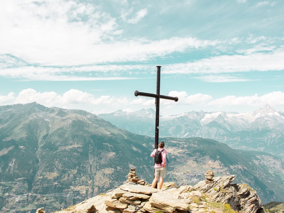
22b) Hannigalp – Furgge – Wannihorn
Information
The route to the Wannihorn at over 2600 m above sea level is a sporty challenge. A summit experience amidst the majestic mountain world. Once at the top, you look down into the Saas Valley and enjoy the unobstructed view of Bietschhorn, Bishorn, Brunegghorn, and the Weisshorn!
Characteristics
Best season
POI details
The route starts at Hannigalp at over 2100 m above sea level and leads you further uphill, partly steep, to the summit cross. You follow the signposting along the Furggen lifts and keep to the right above the tree line. The route continues along the gravel path into a rocky trail and requires sure-footedness.
- Lötschberg car shuttle: Via Kandersteg - Goppenstein - Visp to Grächen / St. Niklaus (bls.ch/autoverlad)
- Furka car shuttle: Via Andermatt - Realp - Oberwald - Brig - Visp to Grächen / St. Niklaus (Furka car shuttle)
- Ticino/Simplon: Via Lugano - Centovalli - Domodossola - Brig - Visp to Grächen / St. Niklaus (Simplon car shuttle)
We recommend:
- Good footwear
- Weather-dependent clothing: always carry a waterproof vest
- Headgear
- Sunscreen
- Water bottle
- Picnic
- Camera
- Binoculars (optional)
- Hiking poles (optional)
- Printed copy of the hiking trail (click "Print" to download)


