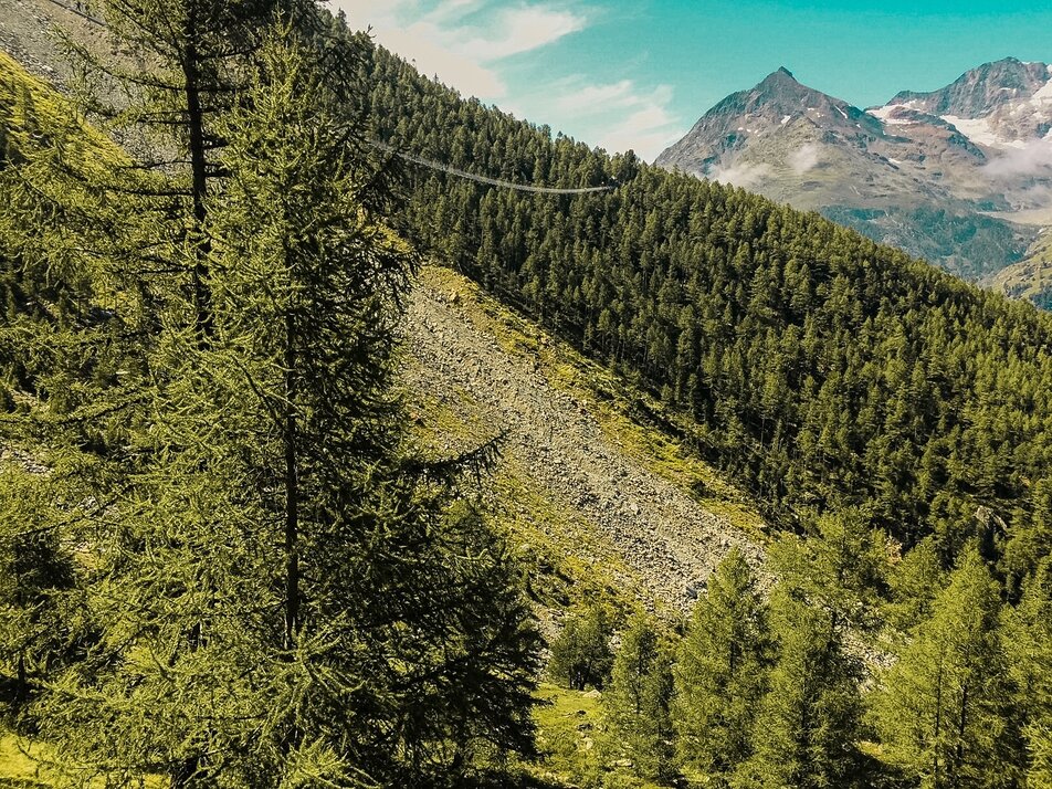
8) Europaweg: Europahütte – Randa – Springelboden – Täschalp – Tufternalp – Zermatt
Information
For information on opening or closing of the route, please contact Europahütte directly. Grächen tourism assumes no responsibility for the condition or walkability of the route.
The breathtaking nature has been used by the officials of the communities St. Niklaus, Grächen, Randa, Täsch and Zermatt since 1997 to create the Europaweg. In 2021, the first stage from Grächen was redesigned and now leads with variety and spectacular views to the Europahütte above Randa. From there it goes over the suspension bridge, the longest pedestrian suspension bridge in the Alps, spanning the Grabengufer. It is 494 m long and at its highest point you hover 85 m above the abyss. Then it continues towards Täschalp and finally to Zermatt.
Herbriggen: intermediate stage with hotel accommodation
Täschalp: cheese and ricotta for purchase
Characteristics
Best season
POI details
The 1st stage between Grächen and the Europahütte above Randa is expected to reopen by the end of July 2021. Until then, a detour via Herbriggen is signposted. Please observe the markings on site.
The original route had to be closed due to acute rockfall danger.
Stages:
1st stage
Grächen - Herbriggen - Randa - Europahütte (6.5 - 7.5 h)
2nd stage
Europahütte - Zermatt (6 - 7 h)
Europahütte - suspension bridge - Täschalp - Tufteren - Sunnegga
Note: The crossing of the bridge takes just under 10 minutes. Please observe safety instructions.
North-South route from Grächen: You walk towards the Matterhorn and repeatedly see the Matterhorn north face and the Hörnli ridge.
South-North route from Zermatt: You walk towards the Bernese Alps and have the Bietschhorn in view among others.
- Rhone Valley: via Martigny - Visp to Grächen / St. Niklaus
- Lötschberg car shuttle: via Kandersteg - Goppenstein - Visp to Grächen / St. Niklaus (bls.ch/autoverlad)
- Furka car shuttle: via Andermatt - Realp - Oberwald - Brig - Visp to Grächen / St. Niklaus (Furka car shuttle)
- Ticino/Simplon: via Lugano - Centovalli - Domodossola - Brig - Visp to Grächen / St. Niklaus (Simplon car shuttle)
We recommend:
- Good footwear
- Weather-dependent clothing: always carry a waterproof vest
- Headgear
- Sun protection
- Water bottle
- Picnic
- Camera
- Binoculars (optional)
- Hiking poles (optional)


