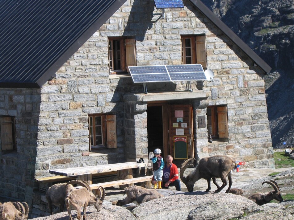
2) Grächen - Alpja - Bordier hut
Information
No crampons are required for this mountain hike. In rocky heights, there is a good chance of encountering marmots. In early summer, thousands of alpine roses bloom around the alp. At the top, refresh yourself at the fountain with glacier water (not drinking water!). The SAC mountain hut is staffed from the end of June to mid-September.
Characteristics
Best season
POI details
Your demanding mountain hike leads you up from Grächen, past the sports center, through the refreshing larch forest. Follow the Suonen (irrigation channels) always further uphill towards the glacier gate. The varied path takes you over a small bridge over the rushing glacier water, past a beautiful picnic spot, continuing uphill to the "Alpja" (sheep alp) and further through the rocky landscape. Below the Ried Glacier border, it goes narrow and steep downhill to cross the earthy glacier field and then to the final sprint uphill to the Bordier hut at 2,800 m above sea level.
- Lötschberg car shuttle: via Kandersteg - Goppenstein - Visp to Grächen / St. Niklaus (bls.ch/autoverlad)
- Furka car shuttle: via Andermatt - Realp - Oberwald - Brig - Visp to Grächen / St. Niklaus (Furka car shuttle)
- Ticino/Simplon: via Lugano - Centovalli - Domodossola - Brig - Visp to Grächen / St. Niklaus (Simplon car shuttle)
We recommend:
- Good footwear
- Weather-dependent clothing: always carry a waterproof vest
- Headwear
- Sunscreen
- Water bottle
- Picnic
- Camera
- Binoculars (optional)
- Trekking poles (optional)
- Printout of the hiking trail (click "Print" to download)


