29) Grächen – Chäschermatten – Gille – Niedergrächen
Information
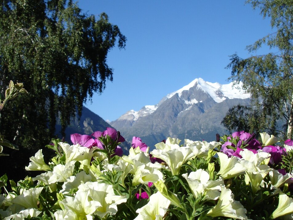
This varied route takes you past playgrounds, traditional buildings, lush flower meadows, and pastures, and offers fantastic views of the impressive mountain scenery.
Characteristics
Best season
POI details
This hike leads you initially relaxed through the car-free part of Grächen to Chäschermatten. You follow the relatively flat trail towards Gasenried but after about 1300 meters, shortly after entering the forest, turn right downhill towards Niedergrächen.
- Rhone Valley: Via Martigny - Visp to Grächen / St. Niklaus
- Lötschberg car shuttle: Via Kandersteg - Goppenstein - Visp to Grächen / St. Niklaus (bls.ch/autoverlad)
- Furka car shuttle: Via Andermatt - Realp - Oberwald - Brig - Visp to Grächen / St. Niklaus (Furka car shuttle)
- Ticino/Simplon: Via Lugano - Centovalli - Domodossola - Brig - Visp to Grächen / St. Niklaus (Simplon car shuttle)
We recommend:
- Good footwear
- Weather-dependent clothing: always carry a waterproof vest
- Headwear
- Sunscreen
- Water bottle
- Picnic
- Camera
- Binoculars (optional)
- Hiking sticks (optional)
- Printout of the hiking trail (click "Print" to download)


