Princes route
Information
In the Grächen hiking area, 6 playhouses and 7 play stations are distributed. The play huts are small wooden chalets with a table & board games. You can pick up the game backpack with the necessary game pieces and game pass at the Tourist Office (against a deposit). Discover the small box with the stamp at the huts and stations to fill your game pass.
Hohtschuggen viewpoint with impressive valley view and breathtaking mountain scenery.
Characteristics
Best season
POI details
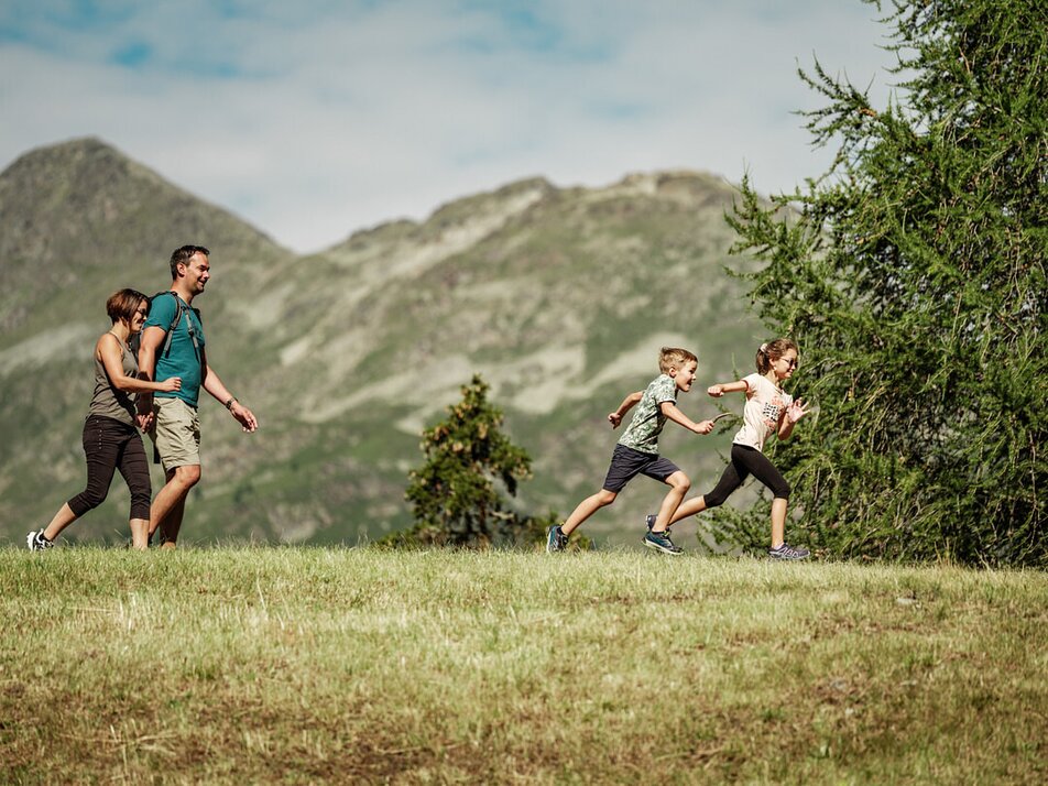
The little princes and their entourage move from Grächen down to the Bina district and hike over gentle forest and meadow paths to the Hohtschuggen viewpoint. After a short rest, your path leads back through the larch forest via Bärgji and then left through the forest past the Kneipp facility in the Taa to the Äbnet alp. From there, the descent goes to the idyllic mountain lake and then back to the village.
From Visp, take the train to St. Niklaus. There, change to the PostBus which takes you to Grächen every half hour. On weekends, a direct bus runs from Visp to Grächen. Detailed timetables for trains and PostBuses can be found at sbb.ch.
Rhône Valley: Via Martigny - Visp to Grächen / St. Niklaus
Car train Lötschberg: Via Kandersteg - Goppenstein - Visp to Grächen / St. Niklaus (bls.ch/autoverlad)
Car train Furka: Via Andermatt - Realp - Oberwald - Brig - Visp to Grächen / St. Niklaus (Car train Furka)
Ticino/Simplon: Via Lugano - Centovalli - Domodossola - Brig - Visp to Grächen / St. Niklaus (Car train Simplon)
We recommend:
- Good footwear
- Weather-dependent clothing: always carry a waterproof vest
- Headwear
- Sunscreen
- Water bottle
- Picnic
- Camera
- Binoculars (optional)
- Hiking poles (optional)
- Printout of the hiking trail (click "Print" to download)


