Closed
Top tour
4) Hannigalp Waldrundweg
Distance
2.14 km
Duration
0:32 Hours
Difficulty
easy
Information
You reach this route coming from Hannigalp past Härdera and into the winter forest. Fancy more? Extend your hiking fun and include this tour in your winter hike 1a (Hannigalp - Stafel).
Characteristics
Ascent
30 Metres
Technique
Descent
32 Metres
Fitness level
Highest point
2.118 Metres
Quality of the experience
Lowest point
2.118 Metres
Scenery
Best season
Jan
Feb
Mar
Apr
May
Jun
Jul
Aug
Sep
Oct
Nov
Dec
POI details
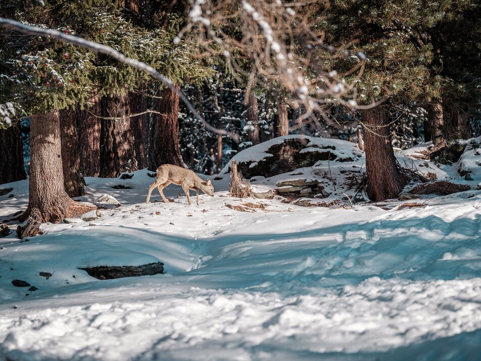
This circular tour at around 2100 metres above sea level takes you on a relatively flat route through the winter forest. It requires little effort from you as you trudge the 2.5 kilometres through the snow. On a short ascent, the clear winter air flows through your body and your muscles warm up.
From Visp you take the train to St. Niklaus. There you change to the bus, which gets you to Grächen every half hour. On weekends a direct bus operates from Visp to Grächen.
- Rhône Valley: Via Martigny - Visp to Grächen / St. Niklaus
- Car transport Lötschberg: Via Kandersteg - Goppenstein - Visp to Grächen / St. Niklaus (bls.ch/e/autoverlad/)
- Car transport Furka: Via Andermatt - Realp - Oberwald - Brig - Visp to Grächen / St. Niklaus (Car transport Furka)
- Tessin/Simplon: Via Lugano - Centovalli - Domodossola - Brig - Visp to Grächen / St. Niklaus (Car transport Simplon)
cross-country equipment


