4a) Water channel hike: Grächen - Z'Seew - Eggeri - Riedbach
Information
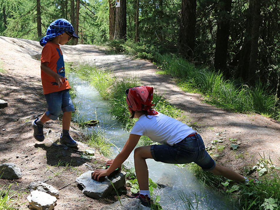
The Eggeri is the oldest and highest situated Suone of Grächen. Along the water channel, you will discover pleasure islands, a swing, and several seating areas. So everything for a relaxing and refreshing hiking day for young and old.
Characteristics
Best season
POI details
The hike leads you left at the sports center up the steep forest path to the idyllic mountain lake. From there, the path takes you along lush meadows up to the Äbnet alp at the entrance portal of the Eggeri Suone. Here you will find a cozy picnic area with a fire pit. Refreshed, you follow the magic water through the shady larch forest. The trail is varied and takes you partly uphill and downhill. You will repeatedly have visual contact with the Chilcheri below. After about 6 km, you reach the end point at just over 1900 m above sea level.
From Visp, take the train to St. Niklaus. There, change to the PostBus, which takes you to Grächen every half hour. On weekends, a direct bus runs from Visp to Grächen. Detailed schedules for trains and PostBuses can be found at sbb.ch.
- Rhone Valley: Via Martigny - Visp to Grächen / St. Niklaus
- Lötschberg car shuttle: Via Kandersteg - Goppenstein - Visp to Grächen / St. Niklaus (bls.ch/autoverlad)
- Furka car shuttle: Via Andermatt - Realp - Oberwald - Brig - Visp to Grächen / St. Niklaus (Furka car shuttle)
- Ticino/Simplon: Via Lugano - Centovalli - Domodossola - Brig - Visp to Grächen / St. Niklaus (Simplon car shuttle)
We recommend:
- Good footwear
- Weather-dependent clothing: always carry a waterproof vest
- Head covering
- Sunscreen
- Water bottle
- Picnic
- Camera
- Binoculars (optional)
- Hiking poles (optional)
- Printout of the hike (click "Print" to download)


