Open
                    45) St. Niklaus - Grächen
                            
                            Distance
                            4.93 km


                            Duration
                            2:10 Hours


                            Difficulty
                            
                                
                                medium


                    Information
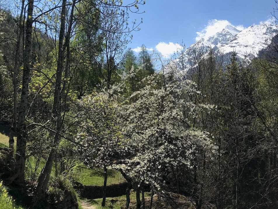
        On this varied, uphill tour you will overcome over 500 metres in altitude. In Grächen, your tired limbs can recover, you can fortify yourself with culinary delights and then return to the valley by post bus.
    
    Characteristics
Descent
                            44 Metres
                        Fitness level
                        Highest point 
                            1.622 Metres
                        Quality of the experience
                        Lowest point
                            1.090 Metres
                        Scenery
                        Best season
                        Feb
                    
                                                                                                
                        Feb
                    
                                                                                                
                        Mar
                    
                                                                                                
                        Apr
                    
                                                                                                
                        May
                    
                                                                                                
                        Jun
                    
                                                                                                
                        Jul
                    
                                                                                                
                        Aug
                    
                                                                                                
                        Sep
                    
                                                                                                
                        Oct
                    
                                                                                                
                        Nov
                    
                                                                                                
                        Dec
                    
                            POI details
                        From the station, follow the signs and cross the river and the road via the bridge to reach the other side of the valley. From here, follow the signpost, cross the road to Grächen and continue uphill through the residential area. The trail changes to meadows and forest surroundings. Pause briefly at the small chapel on the side of the path and then hike steadily upwards. At Wichel, cross the asphalt road, follow the signs and hike steadily uphill, crossing the asphalt road again and again and walking mostly along meadow and forest paths. In Niedergrächen, walk past the turnoff to Gasenried and then turn right and follow the hiking trail to Grächen.