22a) Hannigalp – Furgge – ridge trail – Wannihorn
Information
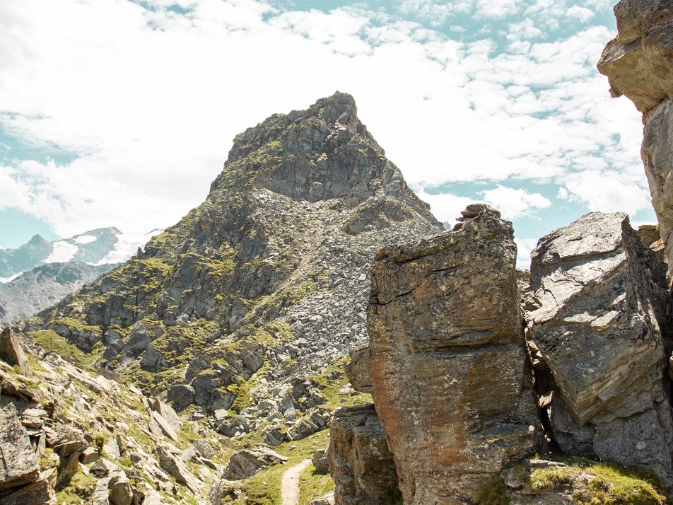
During the ascent, you cover about 500 meters of elevation. On this demanding route, you enjoy breathtaking views and, with some luck, you may spot ibex and chamois.
Characteristics
Best season
POI details
From the Hannigalp, hike uphill towards the Bärgjilift and then follow the trail to the right to Kleine Furgge, continuing uphill past the viewpoint above the Furggen lifts to Grosse Furgge. Along the ridge, continue hiking over rocky terrain to the Wannihorn. At over 2600 m above sea level, you will be rewarded with a breathtaking panoramic view of the magnificent mountain scenery. Your return route leads below the previous trail, across the ski slope through the larch forest by Härdera and past the playground back to Hannigalp.
- Lötschberg car shuttle: via Kandersteg - Goppenstein - Visp to Grächen / St. Niklaus (bls.ch/autoverlad)
- Furka car shuttle: via Andermatt - Realp - Oberwald - Brig - Visp to Grächen / St. Niklaus (Autoverlad Furka)
- Ticino/Simplon: via Lugano - Centovalli - Domodossola - Brig - Visp to Grächen / St. Niklaus (Autoverlad Simplon)
We recommend:
- Good footwear
- Weather-dependent clothing: always carry a waterproof vest
- Headgear
- Sun protection
- Water bottle
- Picnic
- Camera
- Binoculars (optional)
- Trekking poles (optional)
- Printout of the hiking trail (click "Print" to download)


