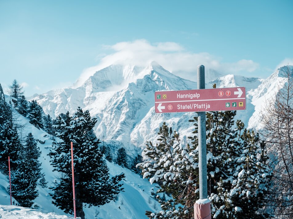
Family memories in the snow
The family album needs new highlights? Capture unforgettable winter moments while skiing, sledging or playing in the snow.
Cap on and off into the snow
BFF-Vibes only!
Chilling, chatting, laughing – in Grächen, your time together is priceless. Here, BFFs celebrate friendship with plenty of fun and unforgettable moments.
Just us and new memories
Time together in a winter wonderland
Snuggle up and enjoy magical winter moments together in Grächen.
Plan your Time Together
Create family memories
Your family album has empty pages? Fill them with photos of your adventure time biking and hiking with your children in Valais!
Pack your camera and let's go
Hop on your bike!
Epic trails with dreamlike panoramas: in the Grächen–Visp bike region, you can make the absolute most of your time on two wheels!
On the saddle, get set, go
Explore Grächen in hiking boots
Adrenalin rushes & dizzying heights or relaxation on leisurely hiking trails: We’ll provide you with ideas and inspiration for your Hiking Time!
Learn more
Must-climb: Matterhorn
The Matterhorn is on your bucket list? Grächen is the perfect starting point for conquering Switzerland’s iconic peak!
Start your Mountain Time adventure
Two cool
Feel the sun on your skin and discover the romantic mountain summer in Grächen together.
Start exploring now
A souvenir from Grächen
Immerse yourself in the world of Grächen and take a little holiday happiness home with you! Buy Grächen vouchers and souvenirs for your loved ones.
Share some joy now
Corporate events on the Hannigalp
With teambuilding in Grächen, corporate events become unforgettable moments filled with team spirit, creativity and inspiration.
Discover our offers
Mountain wedding
A wedding as unique as your love - how does that sound? The Hannigalp in Grächen offers everything you need to make your dream wedding in the Swiss mountains come true.
Yes, I do


