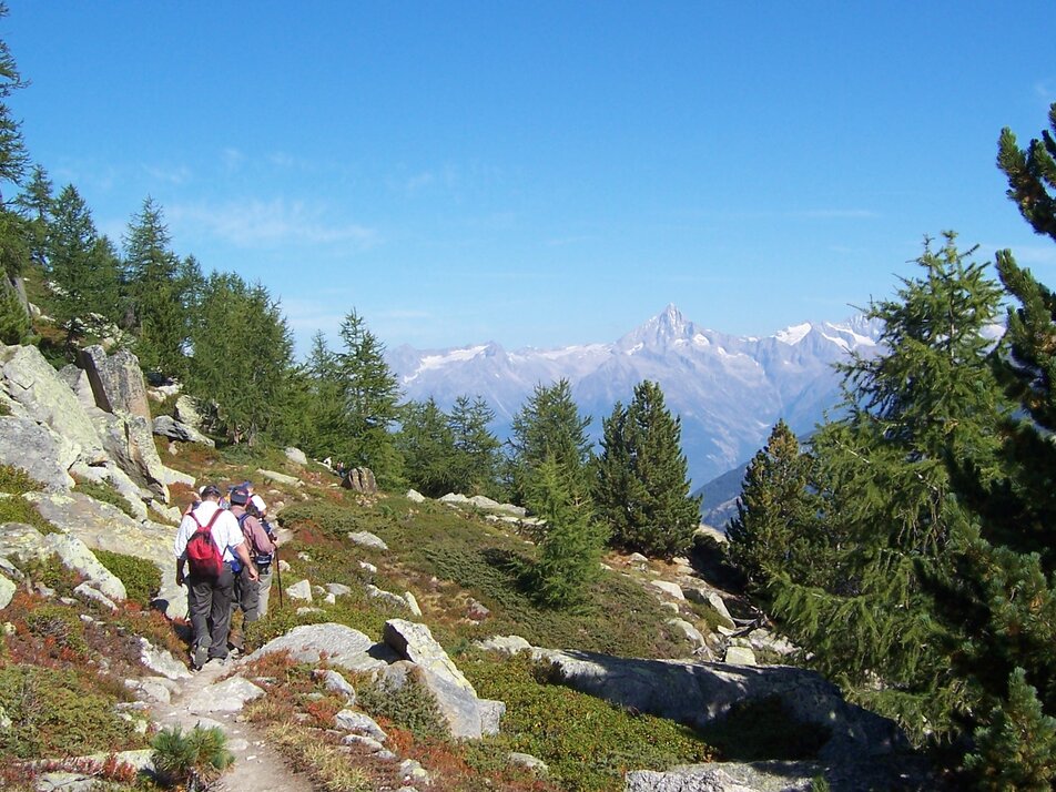
6) High-level route Grächen - Hannigalp – Saas-Fee
Information
With the unique Märchen gondola or on foot, you reach the Hannigalp, the starting point of the hike. Enjoy the view of the Matterhorn and the surrounding mountain world.
After about a 45-minute walk, you reach the Furggen viewpoint. Chamois and ibex like to linger here. At the top, you enjoy the breathtaking mountain scenery with views of Weissmies, Laggin-, Fletsch-, Balfrin- or Bietschhorn and the valleys below.
Next follows the rockiest section of the hike, where several ravines are crossed. Above the tree line and the village of Eisten, the path leads to the point Stock below the Distelhorn. Then you gradually descend towards Balfrinalp. After crossing the Schweibbach over a wooden bridge, a renewed ascent follows through the fragrant larch forests of the Saas valley, where the last altitude meters of the hike are conquered. Now the last descent leads through the beautiful larch forest down to Saas-Fee.
All outdoor enthusiasts who love breathtaking views and dizzying heights will get their money’s worth. Large parts of the route lead you at some height along the mountain ridge – so this route is not for the faint of heart. Sure-footedness and surety on the feet are a must on this hike. It is no coincidence that the high-level trail Hannigalp–Saas-Fee is considered one of the most beautiful and impressive high-level trails in the Alps.
Characteristics
Best season
POI details
The route begins at the mountain station Hannigalp and first leads up to the chapel. For about one and a half hours, the path follows the mountain ridge, then the descent into the Balfrintal begins. From the Balfrinalp, the path climbs briefly to Bockwang and then continues evenly to Stafelalpji above Saas-Balen. The last section finally leads down along the rock face to Saas-Fee. This path is considered the most beautiful and impressive high-level trail in the Alps, with views of the Bernese, Valais, and Italian Alps.
Rhône Valley: via Martigny - Visp to Grächen / St. Niklaus
Lötschberg car shuttle: via Kandersteg - Goppenstein - Visp to Grächen / St. Niklaus (bls.ch/autoverlad)
Furka car shuttle: via Andermatt - Realp - Oberwald - Brig - Visp to Grächen / St. Niklaus (Furka car shuttle)
Ticino/Simplon: via Lugano - Centovalli - Domodossola - Brig - Visp to Grächen / St. Niklaus (Simplon car shuttle)
We recommend:
- Good footwear
- Weather-dependent clothing: always carry a waterproof vest
- Headwear
- Sunscreen
- Water bottle
- Picnic
- Camera
- Binoculars (optional)
- Trekking poles (optional)
- Printout of the hiking trail (click "Print" to download)


